Celebrating a Chiliad: 1,000 Dams In Pierce County
A dedication ceremony for the 1,000th dam was held on the Holst Farm in Diamond Bluff on November 8, 2022. Those in attendance included members of the county board, earth work contractors, and previous conservation staff to celebrate this momentous occasion.
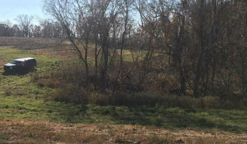
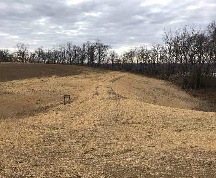
Dams, also called earthen dams or grade stabilization structures, offer protection from erosion and decreased down slope flooding by slowing water coming off slopes, allowing it time to infiltrate back into the ground. Despite its topography, Pierce County experiences less frequent flooding than expected. This is quite possibly because of the presence and abundance of these structures in upland settings.
The 1,000 dam total is based on when the Pierce County Land Conservation Department started counting their work in 1955. This number does not include dams completed on private property without their assistance – so the number could be even higher.
“The Driftless area comes with drastic changes in topography,” Conservation Program Specialist Retta Isaacson accounted, “but with theses strategic conservation dams in our uplands, even with the increase in intense rainfall we’ve seen in the past few years, we are protected from serious flash flooding issues and soil erosion.”
Over 50,657 acres, or 80 square miles, of Pierce County drain into one of these structures, which average a 67% reduction in surface runoff. Over 40 engineers and engineering technicians are credited with designing these structures. Jim Christenson, a now-retired Piece County technician, designed the most structures, with 261 during his career.
“A ‘chiliad’ is a word that describes 1,000 rare things,” explained Isaacson.” “And 1,000 dams, in places that citizens of our county cared enough to do something, that has impacts for generations to come and that’s rare,” she added. “We are so thankful for all the landowners, engineers, and contractors who made our chiliad possible.”
After the ceremony, Pierce County created an interactive StoryMap using ArcGIS. The StoryMap takes viewers on a virtual trip through the county, highlighting the dam structures maintained by Peirce County Land Conservation Department. The StoryMap also details the process of the how dams come to be and features photos from the dedication on Holst Farm.
Originally featured in DATCP 2022 Wisconsin Report on Soil and Water Conservation